FILE 04 // CARTOGRAPHYMAP FEED
GATEWAY
MAP
INTERACTIVE ISLAND SCAN // LAYER TOGGLES // REGION PINGS
Gateway is the active island feed. Toggle map layers, inspect major locations, and use the readout to check water access, cover, and threat pressure.
AE GATEWAY CARTOGRAPHY FILEINTERACTIVE SCAN MODE
AE PUBLIC COORDINATE LOCATOR
MATRIX ONLINE
READY: PASTE PLAYER COORDINATES, THEN LOCATE POINT
Paste in-game X/Y/Z coordinates to place a temporary marker on the Gateway map. The map uses the public coordinate matrix built from real location anchors.
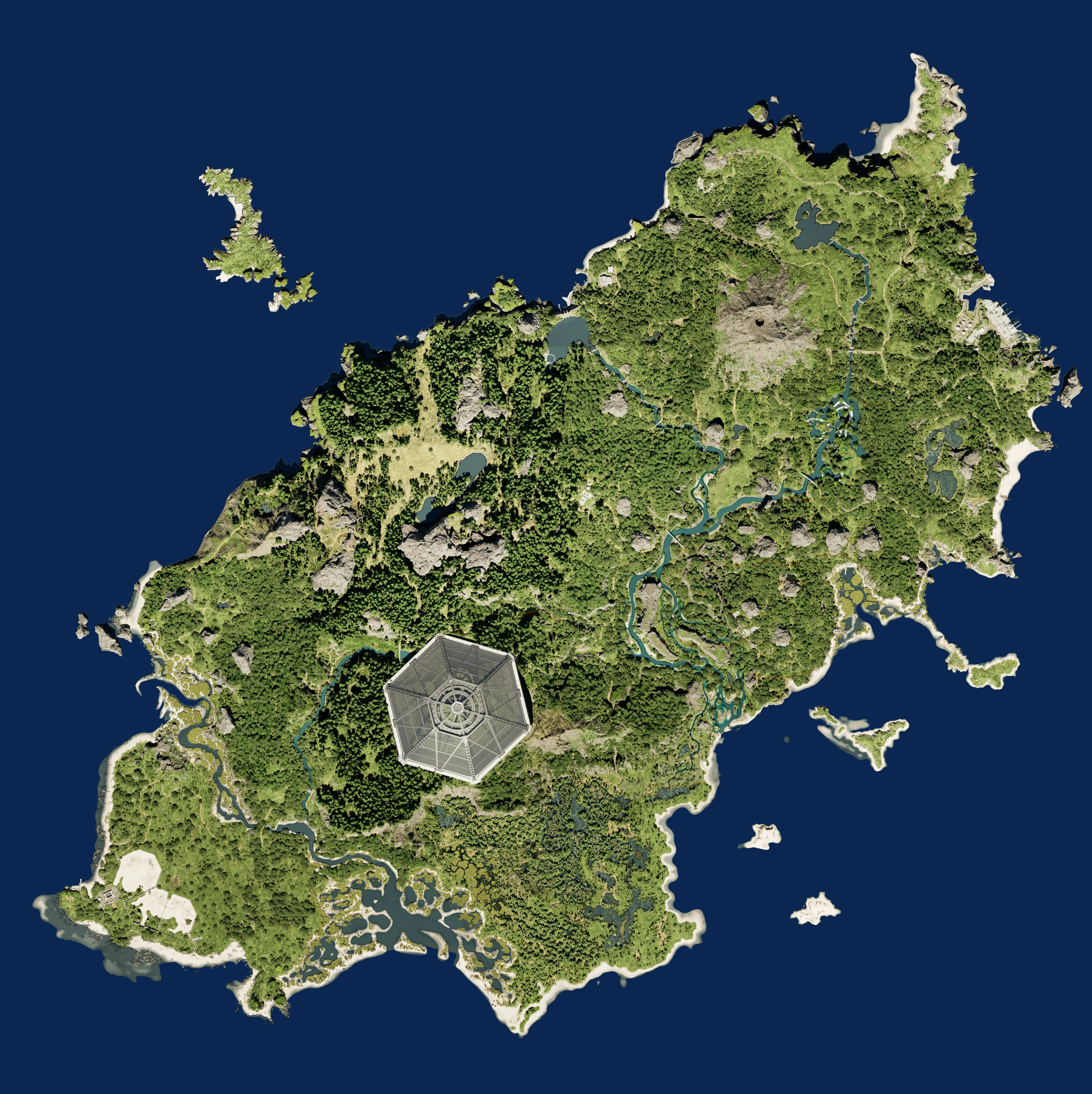
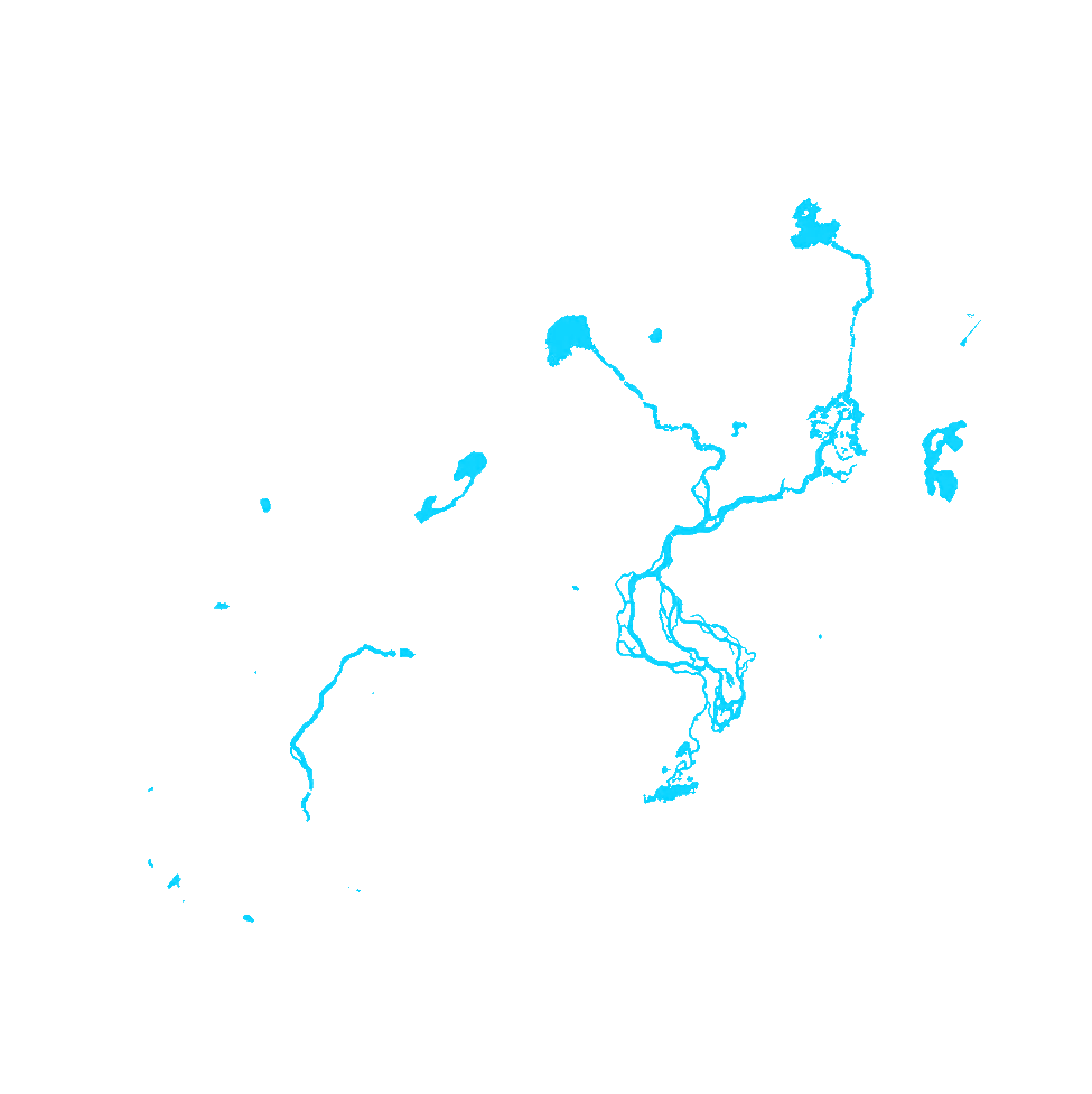
MAP: GATEWAY
Use the layer toggles to bring up water data and major island areas. Select a location ping for a more specific terminal scan.
REGION SCAN
Central Jungle
Dense central forest route near the middle of Gateway. Good for cover and movement, but traffic can build quickly around nearby water and dome paths.
THREAT: MEDIUM-HIGH
WATER: MEDIUM
COVER: HIGH
MOVEMENT: FOREST ROUTE
SURVIVAL NOTES
- Strong cover makes this useful for moving without crossing open ground.
- Expect traffic from nearby landmarks and river routes.
- Listen before pushing toward nearby water access.